24/7 LiveSan FranciscoEast BaySouth BayPeninsulaNorth Bay

Maps project where flooding will be worst this El Niño winter

Maps project where flooding will be worst this El Niño winter
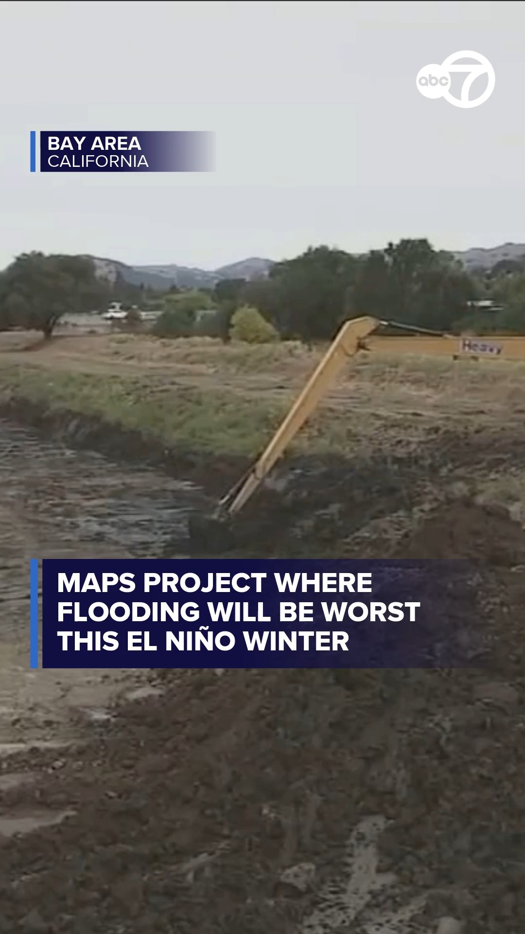
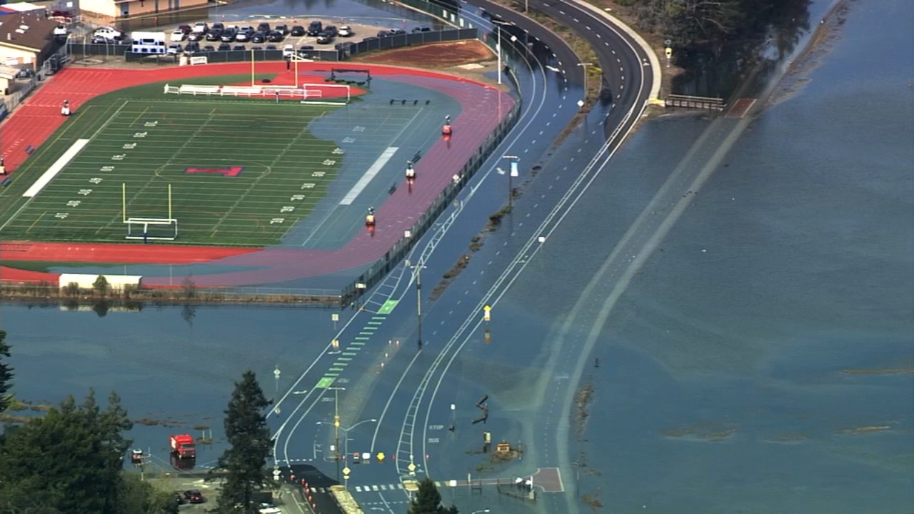
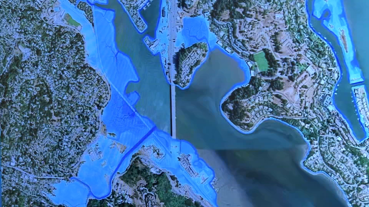
Experts say the Bay Area will see about "12 inches of total additional water level due to thermal expansion," this winter as they develop maps that project potential flooding impacts from El Niño.
Report a correction or typo
Copyright © 2026 KGO-TV. All Rights Reserved.

Related Topics

  • FLOODING
  • HIGH TIDE
  • EL NINO
  • CLIMATE READY
Live Streams
ON NOW

Top Stories

LIVE UPDATES: High tides continue to flood parts of Bay Area

CA Early Voting Ballot Tracker

Maps project where flooding will be the worst this El Niño winter

Appeals court rejects DOJ request for CA to set aside disputed ballots

  • 1 hour ago

Inside the NASA simulator helping astronauts prepare for Moon landing

  • 3 hours ago

Valkyries determined to avoid another slow start in WNBA Finals Game 7

  • 2 hours ago

Nvidia denies report that CEO was allegedly targeted in Chinese spy plot

Key witness testifies in Sheng Thao corruption trial

ABC7 San Francisco
Topics
HomeWeatherTrafficWatchPhotosApps
Regions
San FranciscoEast BaySouth BayPeninsulaNorth Bay
More Content
Take Action Resources7 On Your SideI-Team
Company
About ABC7 Bay AreaABC7 Newsteam Bios#ABC7Now: Connect with ABC7Take Action in Your CommunityAccessibilityEmploymentContests, Promotions, & Rules
Privacy Policy
Your Privacy Choices
Children's Privacy Policy
Your US State Privacy Rights
Terms of Use
Interest-Based Ads
Public Inspection File
FCC Applications
Copyright © 2026 ABC, Inc., KGO-TV San Francisco. All Rights Reserved.
More:News • Local • Sports • Politics • Technology • Entertainment • Weather • Health • Business • Us • World • Traffic